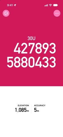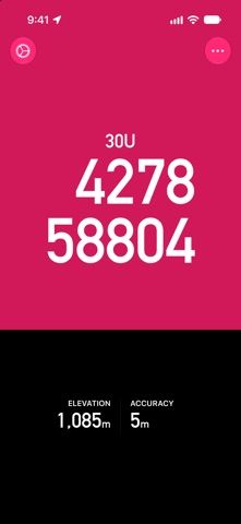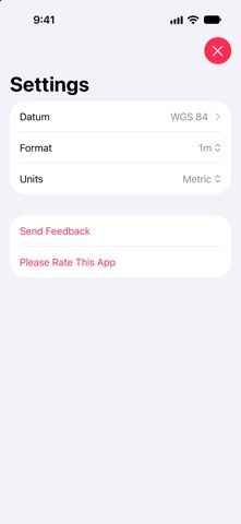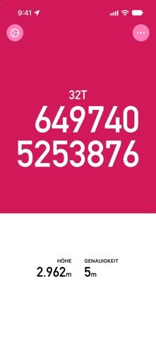
Tomstrails GPS UTM displays a device’s position as a Universal Transverse Mercator grid reference. The app is intended for people who use coordinates with topographic maps and need a clear reading while outdoors. The listing describes coordinate formats at one-metre, ten-metre, and one-hundred-metre precision, plus support for several regional datums, including ED50.
It can show a position without a phone signal, copy coordinates into another app, or share them with another person. The interface uses a large, high-contrast display for quick reference. The developer also says the app has no adverts and adjusts battery use based on movement and charge.
GPS readings depend on the device, sky visibility, and selected datum. A displayed coordinate is not a substitute for checking a map, local conditions, or a suitable navigation plan, especially in remote terrain. Confirm that the datum and coordinate format match the map or recipient. The listing reviewed does not describe a paid feature set. We have not tested coordinate accuracy, battery use, or compatibility with other mapping apps.